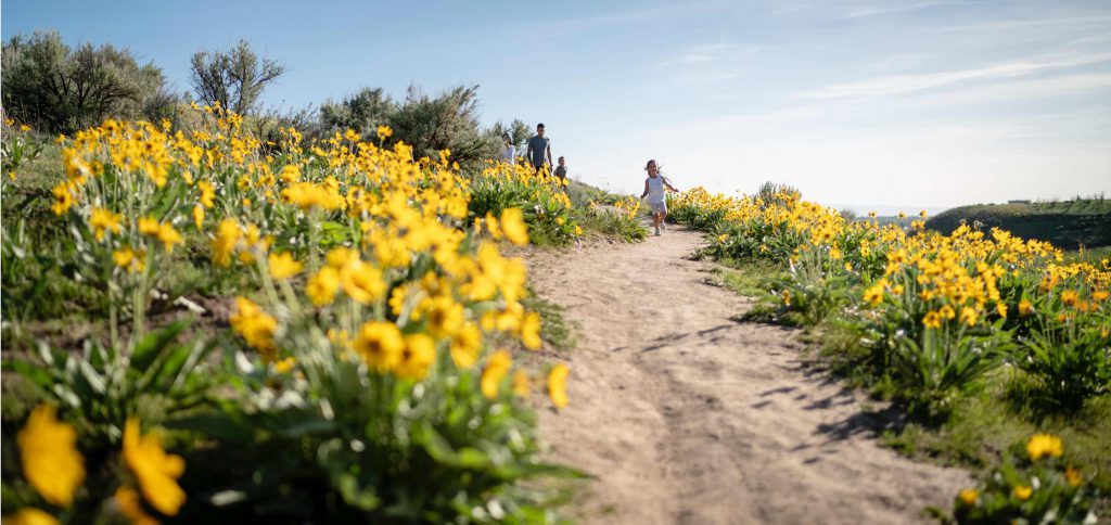
Hiking
RISE ABOVE IT.
You might be surprised how easy it is to be outdoorsy in Boise. Situated in a high desert valley at 2,730 feet, Boise offers access to foothills and mountain trails all around you. Don’t forget to check the weather and bring proper gear, footwear, sunscreen and, of course, plenty of water.
Top Hikes Around Boise
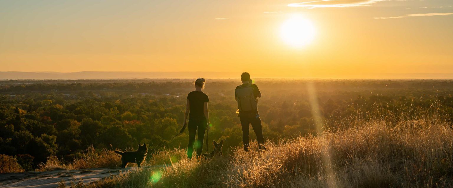
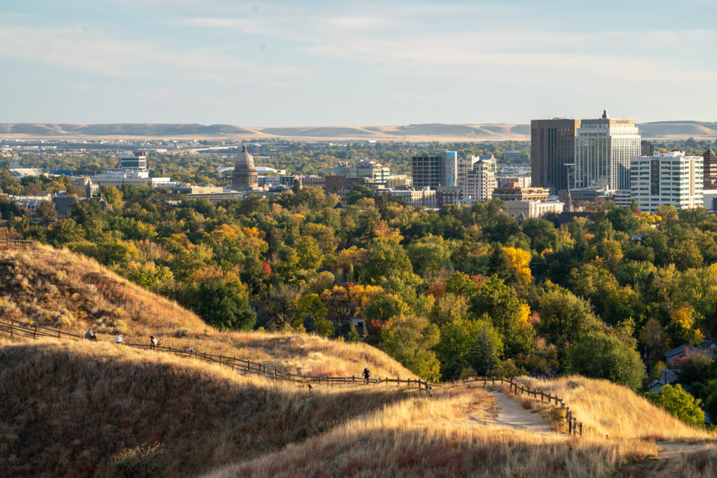
Table Rock Trail
Table Rock Trail is located in Boise’s East End behind the Old Idaho Penitentiary. It is one of Boise’s most popular trails. With a 994-foot gain in elevation, it’s a steep hike yet still family-friendly, and the view at the top of this 3.4-mile trail is well worth it. Give yourself 2-3 hours for this one.
Stack Rock Trail
A mere 25-minute drive up Bogus Basin Road brings you to the Stack Rock Trailhead. This moderately difficult trail serves up shaded forests of towering pines, sage-covered foothills with panoramic views of the Boise area, and massive boulder outcrops that have been waiting millennia just to see you. The trail length is 8.2 miles out-and-back with a 1,263-foot elevation gain. Give yourself 4-5 hours for this hike.
Military Reserve Park Trails
This 734-acre plot was formerly used for military operations by Fort Boise from the 1860s to the 1940s. Boise City acquired the land from the federal government, which is now used for outdoor recreation and wildlife preservation. If you’re looking for a hike that’s close to the city and easier on the heart rate, try the Cottonwood Creek Trail, popular with joggers and hikers alike for its shade and gentle elevation.
Camel’s Back Park Trails
Ditch the hotel gym StairMaster and take a hike at Camel’s Back. Camel’s Back Park in Boise’s North End neighborhood is your gateway to hundreds of miles of high-desert foothill trails. You’ll find trails with varying degrees of difficulty in length and elevation gain.
Hulls Gulch Reserve Trails
To complete Hulls Gulch, you’ll want to make a day of it (6-8 hours), although there’s no law saying you can’t turn around whenever you like. This 12.6-mile trail has two parts: Lower Hulls Gulch with an elevation gain of 813’ and Upper Hulls Gulch with a 2,246’ elevation gain. Lower Hulls Gulch is more congested with foot and bike traffic, while Upper Hulls Gulch is open only to hikers. This trail is great for families with older kids.
Hikes for individuals with disabilities
If you’re looking for a list of accessible trails, visit the Ridge to Rivers Accessible Trails page. The Ridge to Rivers trail system has a variety of trail experiences for people who use mobility devices.